
Talianki
The largest town in all of Neolithic Europe was not in Greece, or the Balkans, or anywhere the usual histories look. It stood on a low bluff between the Talianka River and a small stream in what is now Cherkasy Oblast, central Ukraine, and it may have held more than 20,000 people. Between roughly 3850 and 3700 BC, the Cucuteni-Trypillian culture built here a settlement so vast that it remains, to this day, the biggest known anywhere in Neolithic Europe. Nearly six thousand years later, it survives as a hidden geometry in the soil, a lost city whose scale still outstrips almost everything built around it for millennia afterward.
Rings Upon Rings
Talianki was not laid out at random. Its buildings were arranged in ovular, concentric rows, ring within ring, each house connected to its neighbors, forming a plan that from above would have looked like a great oval drawn again and again around a common center. Working from the density of houses in the excavated portions, the archaeologist Mykhailo Videiko estimated the settlement held some 2,700 structures and, at its height, could have sheltered over 15,000 inhabitants; more recent research in 2014 puts the figure between 15,600 and 21,000 people. Many of the buildings rose two storeys high. The sheer coordination this implies, thousands of dwellings built to a shared design, is astonishing for its age, and it forces a rethinking of when and where humans first gathered in numbers we would recognize as urban.
Painted Walls and Clay Figures
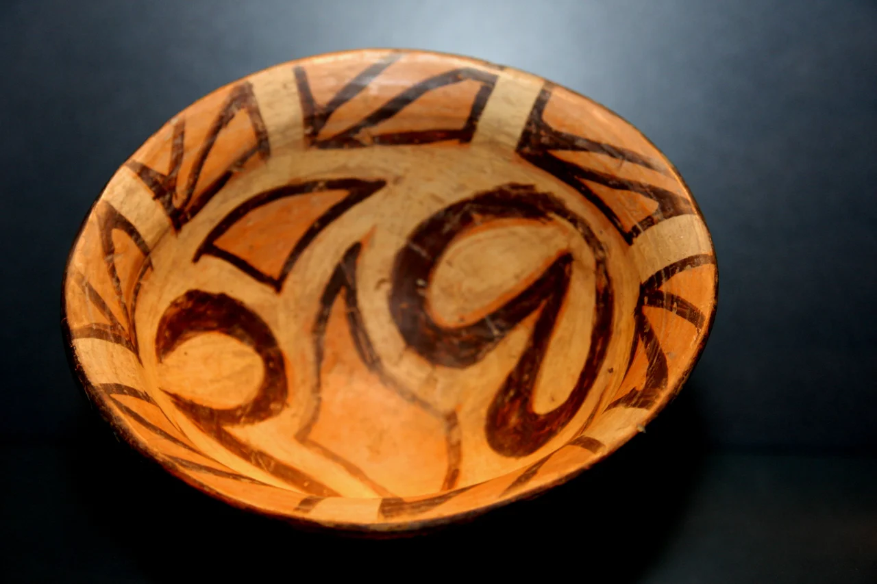
The people of Talianki decorated the places they lived. Excavated structures reveal walls and ceilings painted with red and black designs, the same patterns that swirl across the culture's famous pottery, so that the homes themselves echoed the ornament of everyday objects. Ceramic figurines were found here too, small clay forms whose exact meaning is lost but whose care is unmistakable. These were not crude shelters but decorated, deliberate spaces, made by a society with a strong sense of style and, evidently, the leisure and organization to express it. To imagine Talianki fully is to picture not just the enormous ringed plan from the air but the interiors, warm with painted pattern, where thousands of ordinary lives unfolded across a span of generations.
The Layers That Followed
Time did not leave the site untouched. Long after the Trypillian settlement was gone, newcomers of the Yamnaya culture raised burial mounds, tumuli, directly on top of the older city in the middle of the third millennium BC, and later still came graves from the close of the Bronze Age. The bluff between the river and the stream thus became a palimpsest, one people's home overwritten by another's cemetery, layer stacked on layer across thousands of years. Talianki belongs to a cluster of these Trypillian giants scattered across central Ukraine, alongside sites like Maidanets, Dobrovody, and nearby Nebelivka, together forming one of the most remarkable and least-known concentrations of early urban life on the planet, a whole lost world of cities hiding beneath the quiet fields.
From the Air
Talianki lies at 48.80°N, 30.54°E, on a bluff near its namesake village in Cherkasy Oblast, central Ukraine. From about 3,000 to 5,000 feet, the site itself is not visible on the surface; use the Talianka River, the village, and the surrounding field patterns as landmarks. Ukrainian airspace is closed to civil aviation; the nearest operating airport is Chișinău (ICAO LUKK) in Moldova.
Nearby Stories
- Strategic Missile Forces Museum 41 km away
- Battle of Korsun 47 km away
- Bug Gard National Nature Park 53 km away
- Battle of Korsun-Cherkassy 75 km away
- Korsun-Shevchenkivskyi 76 km away
- Multimedia Fountain Roshen 104 km away
- Vinnytsia 115 km away
- Tiraspol 186 km away